
Edited by: Anjella Kang Lee | Graphic by: Hu Flora
How recent machine learning advances can help scientists predict flash floods before they strike
This past August, a catastrophic flash flood hit Nepal, taking with it entire homes, roads, and the lives of at least 1300 people. In just moments, flash floods have the power to destroy entire communities and bring tragedy to the lives of millions worldwide. Forecasting and warning systems are critical to these flood-prone areas, but disasters such as the terrible events in Nepal prove that flash flood predictive technologies still have a long way to go.
Traditionally, the warning systems that anticipate such events use physically-based modelling. For example, warning systems often analyze and interpret hydrological models and rainfall-runoff patterns in order to predict the likelihood of a flood in a particular region. However, the most at-risk regions for flash floods are often topographically complex, and therefore hard to map. Consider the Himalayan region of Nepal, for example; characterized by its steep elevations contrasted with short distances, this troublesome terrain is susceptible to upstream failures, river blockages, and is particularly responsive to sudden bursts of rainfall, all of which can cause devastating, seemingly instantaneous landslides and flash floods. While traditional techniques for flash flood forecasting have their limits, a more modern, AI-based approach may help scientists predict floods well in advance.
Machine Learning (ML) models take observed patterns and data and produce higher-level, abstract representations that can help predict environmental events. Recent analyses have determined that many of these AI/ML models are performing better than traditional, physical models in predicting extreme weather events. In particular, an advanced ML model known as the long short-term memory model (LTSM) can predict flash floods an entire day in advance. This model creates predictions from long-term series data, such as precipitation data, and is applied to large-scale events such as river flood forecasting. An entire day of advance notice is enough time for people to evacuate their homes and flee the violent impacts of flooding in these high-risk areas.
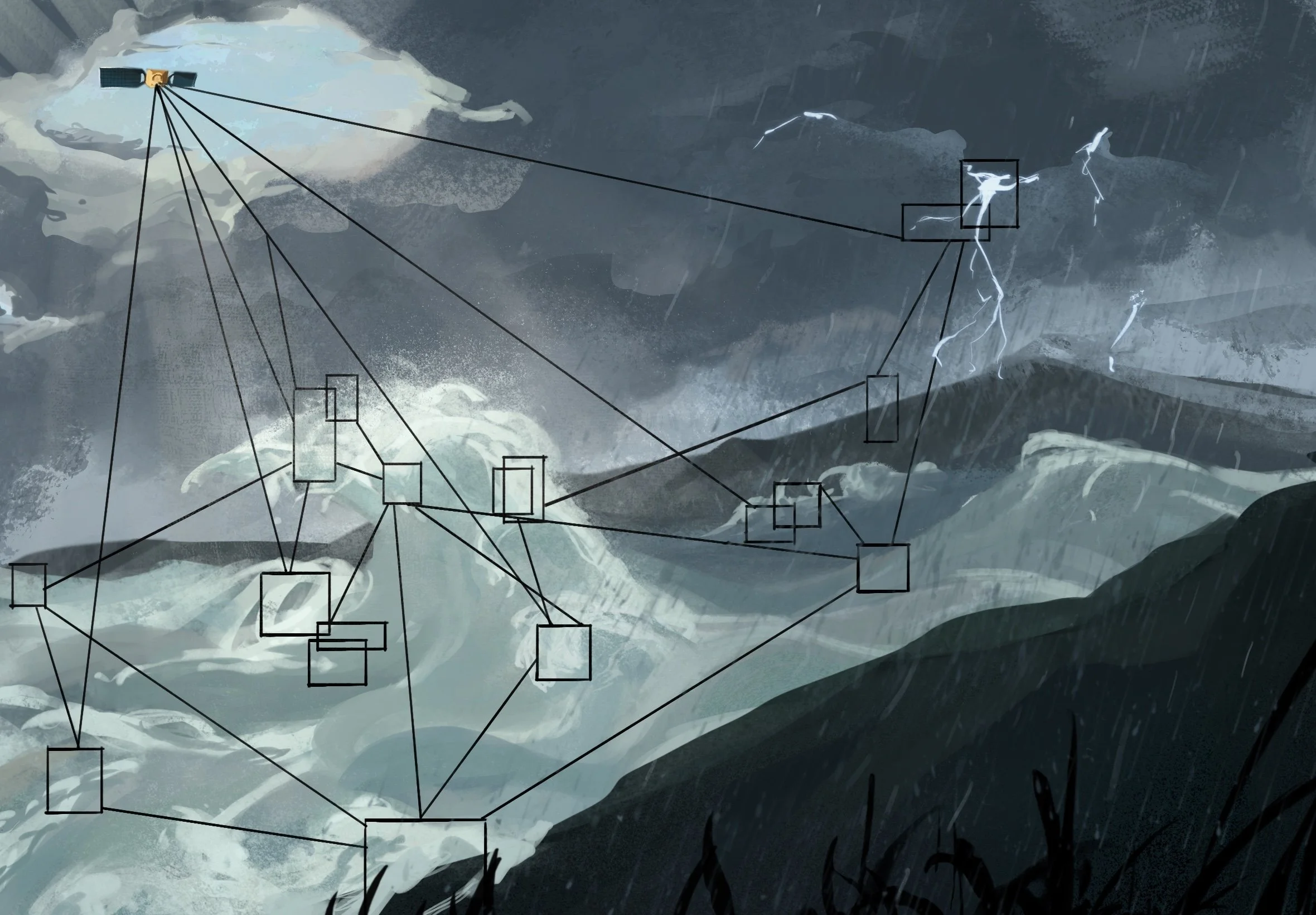
An ongoing project spearheaded by NASA, the University of San Diego (USCD), and the National Weather Service (NWS) also provides hope for improved flash flood predictions with the help of AI models. The Transient Artifact and Continuous Learning System (TACLS) is a software system that relies on data from the Global Navigation Satellite System. As signals travel from satellites to Earth, they experience delays caused by water vapor. These delays are collected to calculate the amount of water vapor in the atmosphere across particular regions. TACLS uses a machine learning model trained on more than 30 years of satellite data; this model flags data that suggests an imminent physical event, such as heavy rainfall, that might cause a flash flood event. If data is flagged, it is sent to analysts for interpretation. This model has shown great promise, capturing 93% of flash-flood warnings issued between 2017 and 2023.
It’s undeniable that severe weather events have become increasingly common and violent over the past few decades. Through improved prediction models, millions of people worldwide can be freed from the anxiety that accompanies living in topographically problematic regions. These valuable technologies have the power to save lives and usher in a new era of forecasting severe weather events.